Desktop Background Images - Antique Road Maps
These images are intended to be used as desktop background images.
Just use your WWW brower to save the images you like onto your hard disk and then
install your favourite one as your desktop background image.
The images on this page are all taken from a series of 18th century road maps by Owen and Bowen.
Click here for more information on these maps.
Click here to get to the top of this set of background image pages.
Some notes are probably in order:
- Except as noted, none of the images are distorted
(i.e. if your pixels are square then you're seeing
the image in the correct aspect ratio).
- The maps and antique prints are old enough that any copyrights have expired.
- The images related to my Grandfather's store are of documents which are recent enough to still have
copyrights associated with them although I doubt (but don't guarantee) that anyone is likely to
try to assert the copyrights.
- The 1280x1024 images aren't quite the same as the other sizes due to the obvious fact that
1280x1024 is a 5x4 aspect ratio whereas the others are 4x3.
- The IBM mainframe related images might be Copyright © IBM Corporation
although I can't find any copyright notice on the reference cards.
If you use any of these images for commercial purposes or display them on your
WWW site,
please include a reference back to http://www.bouletfermat.com/backgrounds/ (using the IBM mainframe related images for commercial purposes
is probably inappropriate without written permission from IBM).
Speaking of my Grandfather's store, I'm looking for photos, drawings, maps, paintings or any other
documentation dealing with Dumas, Saskatchewan, Canada.
Please contact me if you've got anything (danny@BouletFermat.com).
I suppose that I should add that Dumas had less than 100 people living in it at its peak and,
although there's a sign on the highway and a couple of houses left, Dumas doesn't really exist anymore.
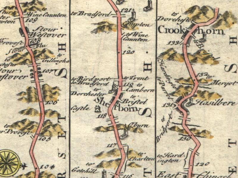
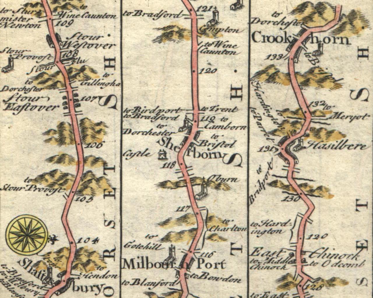
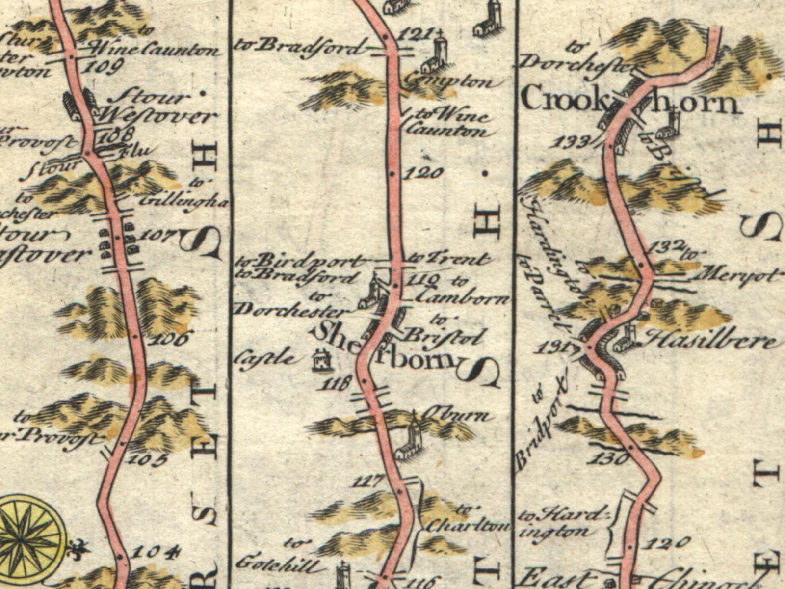
Here's an 800x600 clipping from the Plymouth map from my set of six
Owen and Bowen Britannia Depicta maps.
For some reason, I really like the hills near Crookhorn in the upper right
and the Castle near the middle of this clipping.
Unfortunately, this looks rather faded when I use it as the background for my
Powerbook's LCD screen although it looks quite respectable on my desktop monitor.
The 1024x768 version is here.
The 1280x1024 version is here.
The 1600x1200 version is here.
|
|
|
|
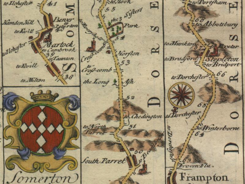
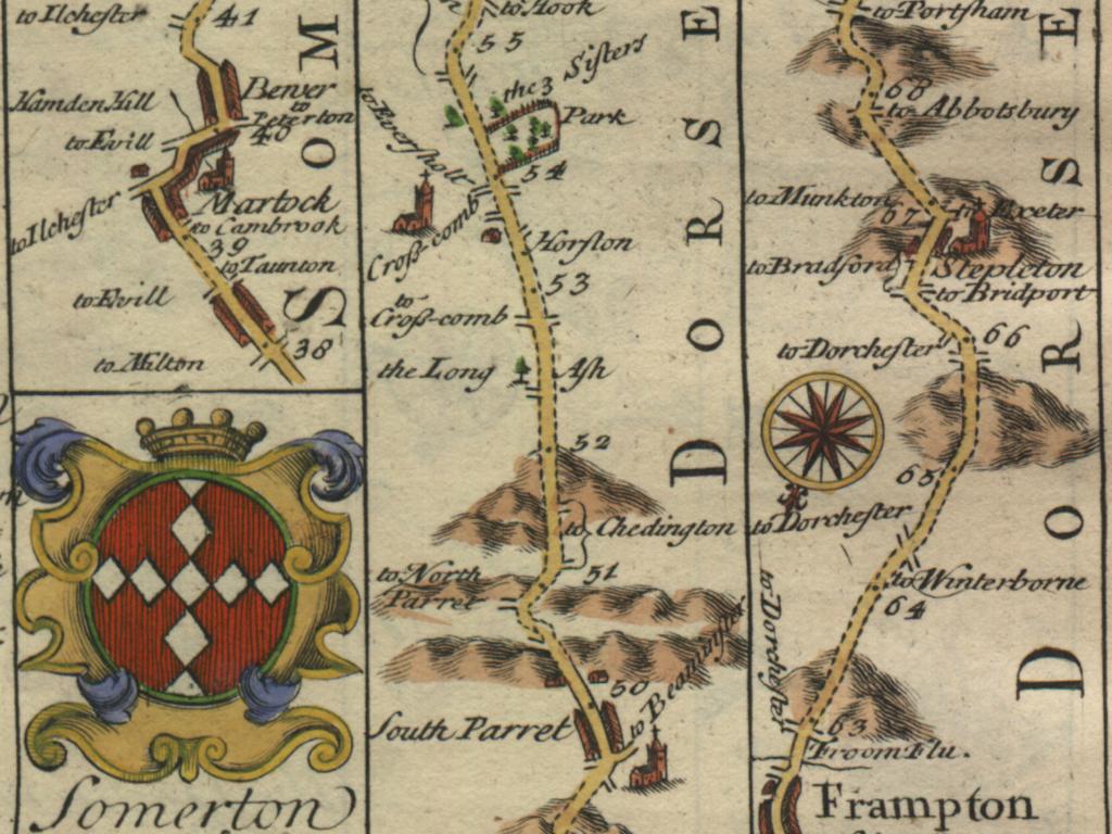
Here's an 800x600 clipping from the Somerton map from my set of six
Owen and Bowen Britannia Depicta maps.
This clipping makes quite a nice desktop background.
My favourite features in this clipping are the shield in the lower left and the
park near the top of the middle vertical strip map.
Also, the colour density of this clipping seems better suited to my
Powerbook's LCD screen.
The 1024x768 version is here.
The 1280x1024 version is here.
The 1600x1200 version is here.
|
|
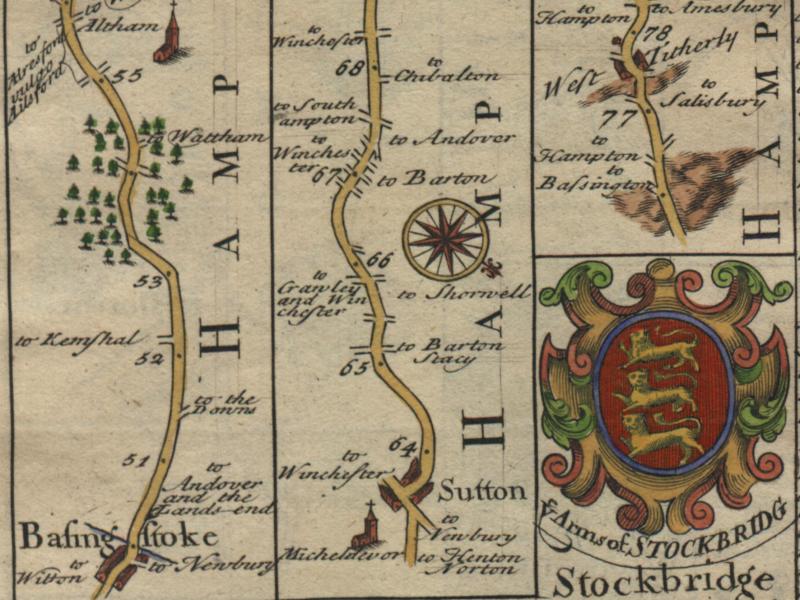
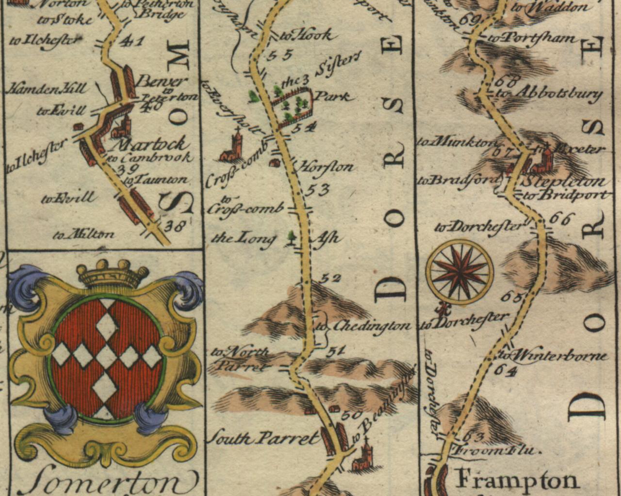
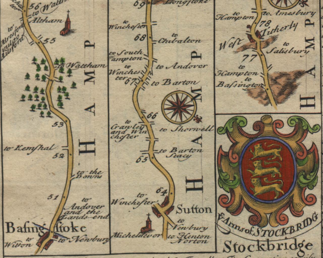
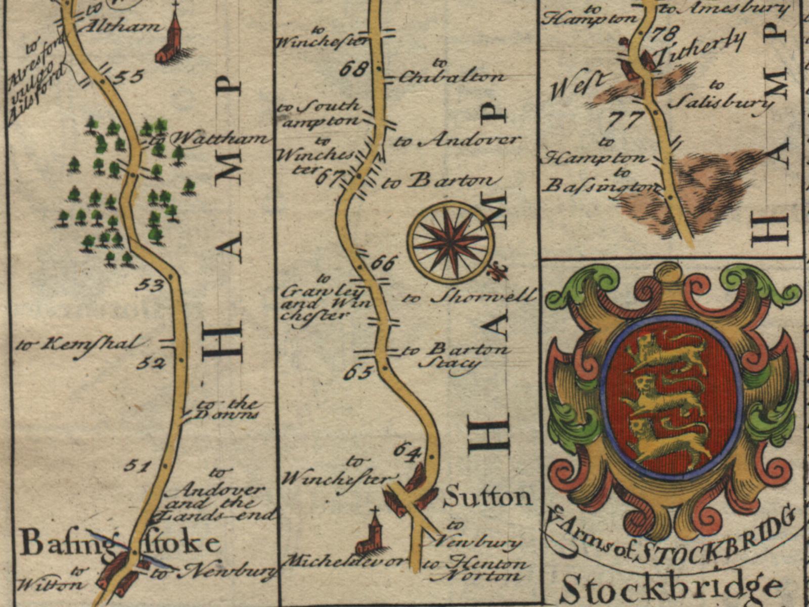
Here's an 800x600 clipping from the Stockbridge map from my set of six
Owen and Bowen Britannia Depicta maps.
This map has a number of features which I really like including the shield
in the lower right corner, the trees on the left and the churches.
The 1024x768 version is here.
The 1280x1024 version is here.
The 1600x1200 version is here.
|
|
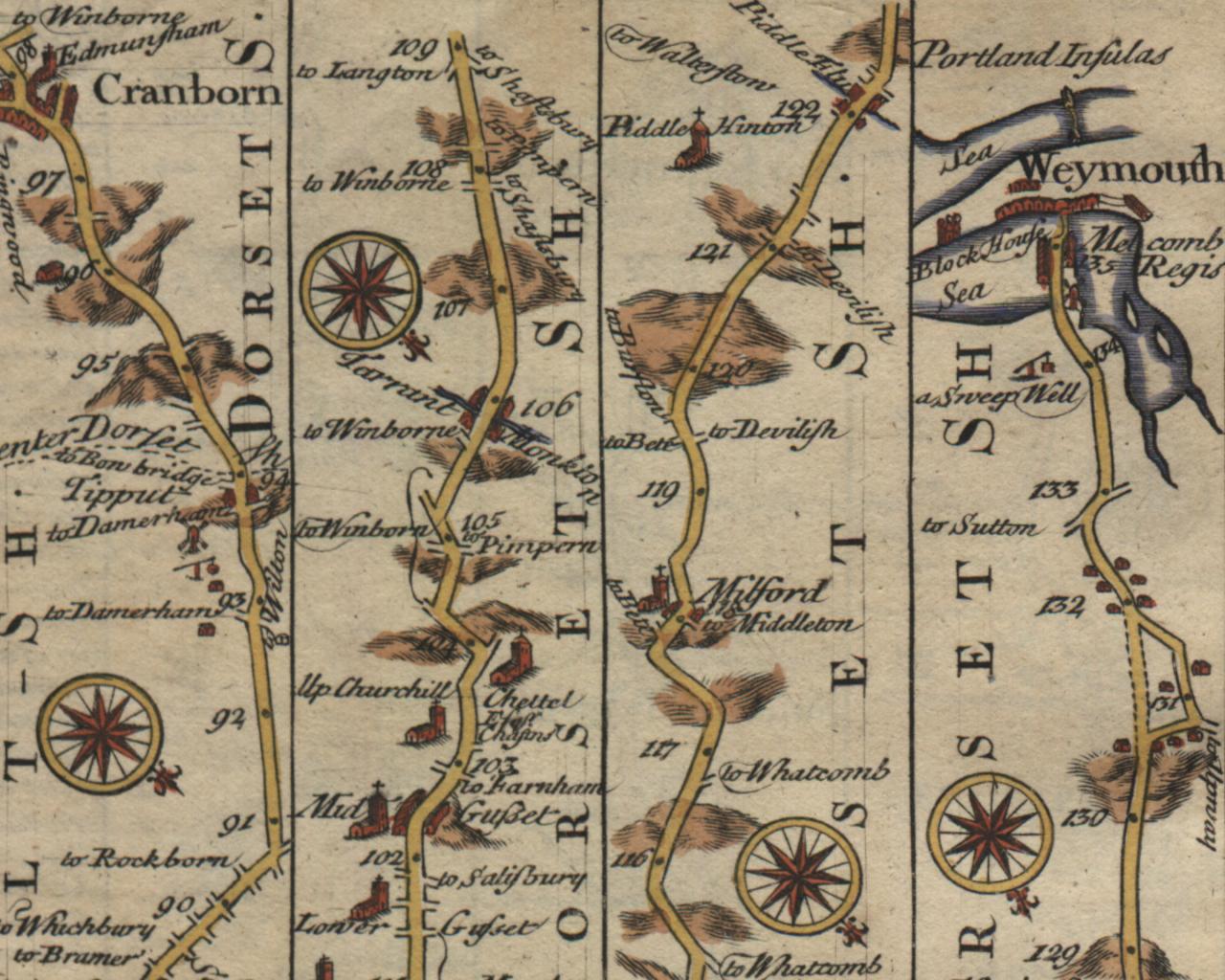
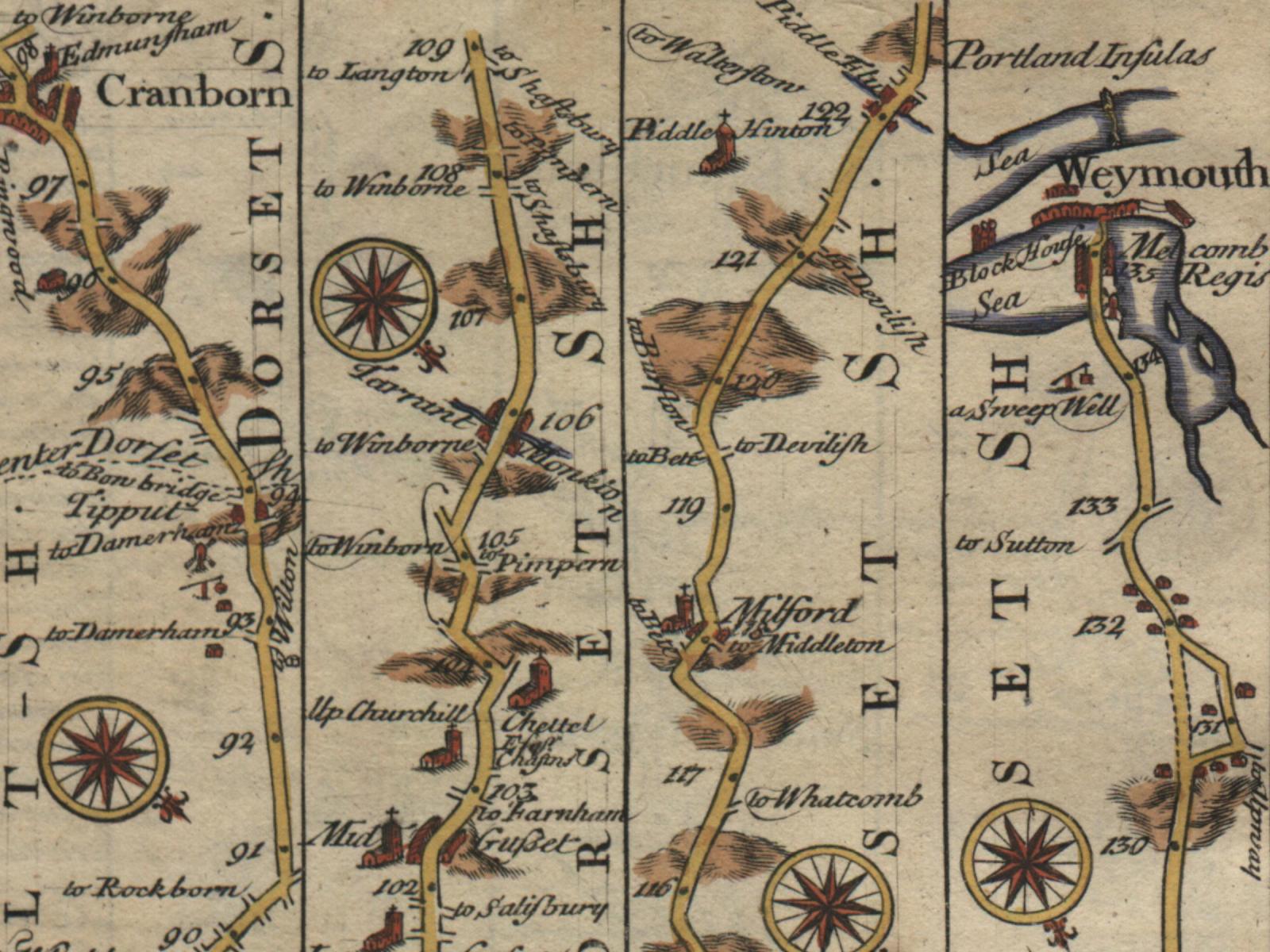
Here's an 800x600 clipping from the Weymouth map from my set of six
Owen and Bowen Britannia Depicta maps.
The sweep well in the upper right hand corner of this clipping (just below
Weymouth) is probably my favourite feature on all six of my maps (the
seas around Weymouth are also pretty spectacular).
Finally, check out the other sweep well and the windmill in this clipping (you'll
have to find these yourself (not exactly difficult)).
The 1024x768 version is here.
The 1280x1024 version is here.
The 1600x1200 version is here.
|


http://www.bouletfermat.com/backgrounds/
