


A 600dpi clipping of approximately this part of the Bristol map can be found here.


|
The City of Bristol from the Bristol map. |
| A park and a church from the Somerton map. | |
|
A sweep well from the Weymouth map (600dpi). |
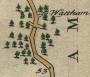
| Trees (indicating a forested area) from the Stockbridge map. | |
|
Lead mines and a couple of houses from the Bristol map. |
| Islands in the sea close to Weymouth from the Somerton map. | |
|
Scattered houses, a river and some upside-down hills from the Devonshire map (see below for an explanation of why hills are sometimes depicted upside-down). |
| A valley with a stream and a small town from the Devonshire map. | |
|
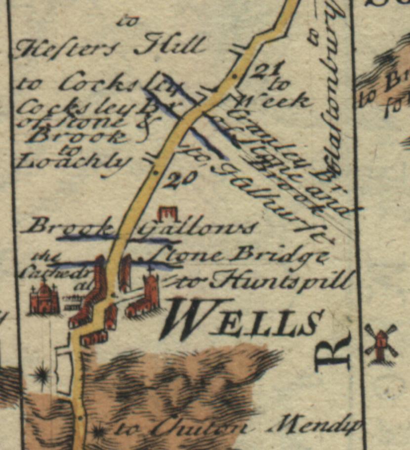
The city of Wells including a Cathedral, a couple of bridges and even a gallows from the Bristol map.
Note the use of the asterisk to mark the side-road to Chuten Mendy.
A 600dpi clipping of approximately this part of the Bristol map can be found here. |
| Windmills, churches, towns, bridges and streams from the Bristol map. | |
|
The town of Sherborn with some crossroads, a castle and a couple of churches Plymouth map. |
| A compass indicating north (i.e. to the lower right), some hills and streams, a castle and an estate home on the Plymouth map. | |
Why are the hills sometimes drawn upside down?
The orientation of the hills indicates the slope of the land.
For example,
consider the upside-down hills from the
Devonshire map above.
Imagine that you're an ant walking from the bottom of this clipping to the top. You encounter the top
of the hills before you encounter the bottom.
Therefore, these upside-down hills indicates that someone travelling along this road from the
bottom of the clipping to the top will be travelling downhill.
Click here to get back to the main Owen and Bowen maps page.